

Work Underway To Re-Draw County Commission Districts
August 31, 2021
By Jessica Mathews / news@whmi.com
Work has begun to redraw Livingston County Commission districts, although there will be a shorter time period to do so than originally laid out.
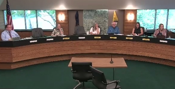
The Livingston County Apportionment Commission has begun meeting, which is tasked with re-drawing boundary lines for the county’s nine commission districts based on the most current population data received every ten years from the U.S. Census. The Commission consists of the county clerk, treasurer, prosecuting attorney and chairs of the local Republican and Democratic parties.
At a meeting held last Friday afternoon, commissioners discussed a legal opinion from the county’s civil counsel, Attorney Dave Stoker. Clarification was being sought on the timeline for maps to be drawn and when the “clock started ticking”. It’s based on the publication date of census data and Stoker’s opinion was that based on statute and when Census data was released, August 12th was the start date. Stoker noted that the Commission has 60 days to review data and draw new district lines and approve a plan with a majority vote or must pick from submitted plans.
There was supposed to be a 60-day period to review data and draw maps but based on when information was received, it will now be closer to a month.
Livingston County Democratic Party Chairwoman Judy Daubenmier told WHMI "I fear the public will have little opportunity for meaningful input into the process. Our rules allow the public to submit plans but it's not clear yet how they will be able to actually draw plans using the census data and submit them unless they are technically quite savvy. We've set a deadline, but we haven't explained how the public can create maps, except by hand with a calculator."
There are different options for drawing maps. Since the general public wouldn’t have access to a state tool, the county GIS department has been working to create a public terminal where both the commission members and the public could go in and work on drawing new proposed maps. As of now, there will be one computer terminal set up in the county GIS area so if expertise is needed, it can be provided.
Sandon Lettieri with the IT Department explained that it would probably be best to schedule times, assuming that there would be questions from general public users or commission users about how the software works. Lettieri noted it’s easy once people get the hang of it but for someone who is new to GIS, there will be a little bit of a learning curve. He added he doesn’t anticipate it being that much more difficult to use than the state’s tool, which is a web-based environment.
IT staff was directed to look into setting up additional computers. It’s also possible that a website, www.davesredistricting.org could potentially be used as an alternate tool, and IT will also be looking into that site to see how precinct data matches up.
The Commission approved a motion for maps to be submitted no later than the close of business on September 23rd. It will then meet on September 27th to review the maps and vote on a new plan. That will be filed with the county clerk’s office and be forwarded to the Secretary of State.
Any registered voter has 30 days to appeal the Commission’s final plan. If there aren’t any, then the plan would become official until the next Census.