

NWS Releases Satellite Images Of EF2 Tornado Impact
September 14, 2023
Jessica Mathews / news@whmi.com
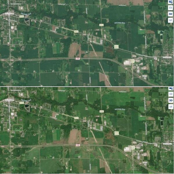
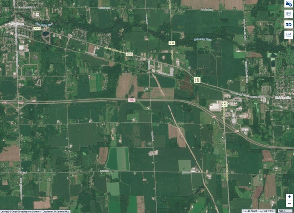
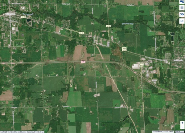
The National Weather Service has released before and after satellite images of the EF-2 tornado that impacted areas from Williamston to Webberville in Ingham County on August 24th.
The NWS Grand Rapids Office noted that the tornado scar is evident approaching I-96 from the south and as it crossed I-96 before heading southeast of the interstate.
The satellite imagery was taken by a polar-orbiting satellite operated by the European Space Agency. Image credit for both was given to the European Space Agency (ESA), produced from ESA remote sensing data with imagery processed by the Copernicus Data Space Ecosystem.
At least seven tornadoes touched down that night as part of severe storms powered by strong winds that killed five people, while downing trees, tearing roofs off buildings and leaving hundreds of thousands of customers without power.
The EF-2 tornado had a maximum wind speed of 125 mph per the National Weather Service.
41-year-old Robert Russell of Hartland Township was among the fatalities attributed to the tornado. He had been driving to a work site in Holt when his pick-up truck was lifted off I-96, carried, and then dropped far off the freeway into a wooded area.
A link to the post is provided.