

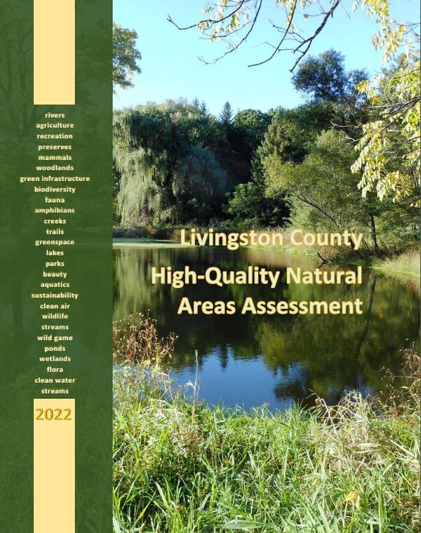
Livingston County High-Quality Natural Areas Assessment Released
February 10, 2022
By Jessica Mathews / news@whmi.com
A new report has debuted documenting the natural feature characteristics of Livingston County.
The 2022 Livingston County High-Quality Natural Areas Assessment was recently released. The approximately 100-page document identifies, ranks and maps High-Quality Natural Areas throughout Livingston County.
The assessment represents an extensive update to the County Planning Department’s initial 2004 study entitled “Livingston County High Quality Natural Areas.” Officials say computing technology, data availability, and mapping products and processes have improved tremendously since 2004, which allowed for a much more in-depth analysis then previously available.
The report identifies the County’s High-Quality Natural Areas, compares and contrasts the data with the 2004 assessment, and more.
Highlights of the plan include the identification of over 980 High-Quality Areas in Livingston County ranked as low, medium or high priority; a comparison of the Planning Department’s 2004 Livingston County High Quality Natural Features Report with the new 2022 assessment, documenting the loss of 9,839 acres of conservation lands; conservation data for each Livingston County municipality such as total high-quality area acreage and acreage upgraded, degraded or lost over the 17 year time period; and numerous maps such as land use, land cover, green infrastructure, biological rarity, Livingston County High-Quality Areas, and High-Quality Area changes over time.
The site map and ranking data can be used by local municipalities, land trusts, and other agencies to prioritize conservation efforts and assist in finding opportunities to establish an open space system of linked natural areas and habitats in the region.
A new mapping application for high-quality natural areas will also be developed and added to the Livingston County GIS Map Gallery.
More information is available in the attached press release.