

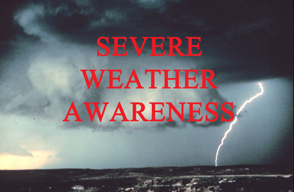
Along With Everything Else, Severe Weather Season Is Here
April 10, 2020
By Jessica Mathews/News@whmi.com
The strong storms that moved through this week are a reminder that it is severe weather season and time for Livingston County residents and businesses to get prepared.
Warning Coordination Meteorologist Rich Pollman with the National Weather Service Detroit/Pontiac Office says typically the season kicks off in southern lower Michigan on April 1st, which is when they start to see a pretty good increase in the chance of severe weather. The season then typically peaks in June and July, although there is still the risk of severe weather in August into September. He says we can get a rare October severe weather event but generally September is the last month to run the risk of severe thunderstorms
Pollman says temperatures typically start to rise through the month of April but cautions the month can also bring some late season snowfall events and cold weather. Temperatures usually start out in the low 50’s and by the end of the month move into the low 60’s. Pollman says unfortunately it looks like temperatures will be well below average for the next ten days to two weeks so those nice days seen earlier this week will just be a memory but hopefully we’ll start to see warmer temperatures the last week of April. Once temperatures do warm up and a storm system moves through, Pollman says it brings the chance of thunderstorms and potentially severe storms in the spring months. He says people have to be watchful for all of those hazards whether hail like seen this week or strong winds that bring down trees but it’s also a time to watch out for tornadoes. Pollman says every thunderstorm by definition has lightening and that poses a risk to life and safety. He says if you can hear thunder, then you’re in the strike zone of that storm so don’t wait for rain to appear and remember the phrase “when thunder roars, go indoors”.
Pollman says Tuesday’s hail producing severe weather storms had a lot of instability especially for early-April, with hail measuring at 2 inches to 2 ½ inches in diameter in parts of the state. Hail that size will damage siding, roofs, outdoor furniture and even vehicles. Pollman tells WHMI is pretty unusual to have that much lightning activity in April - which is a testament to how much ice was in the storm. He said we don’t often see that much lightning in the springtime so it was a little unusual how much occurred with those thunderstorms. Pollman says we usually see a lot of lighting out of storms in June, July and August. When severe weather arrives in April, Pollman says its often just a few claps of thunders and a few bolts of lightning but this was a bit unusual and more of a summertime pattern.
Pollman says it’s a good time to start planning for severe weather and be prepared. He says the typical severe thunderstorm moves in at 40mph, which covers a lot of ground, so people should pay attention to severe thunderstorm and tornado watches. Pollman says those are issued every 2 to 6 hours in advance of severe weather so people can review plans. For warnings, about 10-20 minutes of lead time is given.